BREEAM
Environmental certification of an asset
Site ecology, land use and biodiversity indicators organized into the sections BREEAM assessors expect.
Open in the builderReport Builder
BREEAM, EIA and wildfire-risk templates already filled with sample data. Open them, customize them with your site's information and export them to PDF in minutes — no GIS skills required.

Ready-to-use templatesProduct preview
BREEAM
EIA
Forest monitoring
Wildfire risk
KPIs and satellite maps
Ready-to-use templates
Ready-made examples filled with sample data: open one, customize it and export it as a PDF. Every template opens directly in the builder.
BREEAM
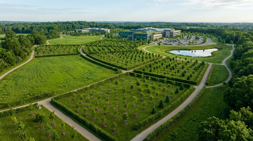
Site ecology, land use and biodiversity indicators organized into the sections BREEAM assessors expect.
Open in the builderBREEAM
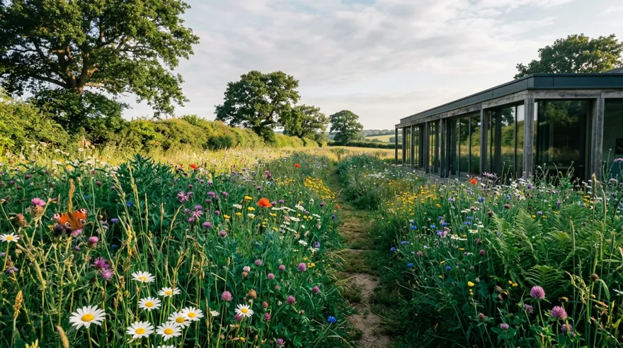
Ecological census of the site — species, habitats and biodiversity value — in the format the BREEAM In-Use survey requires.
Open in the builderEIA
State of the environment, pressures and monitoring over time: maps, KPIs and time series ready to attach to the assessment.
Open in the builderEIA
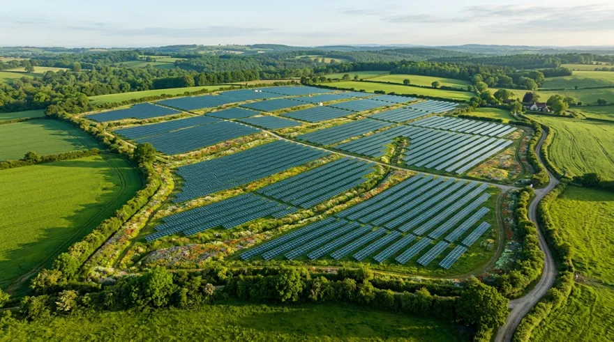
Ante-operam environmental characterization for a photovoltaic plant: land use, vegetation, satellite indices and baseline biodiversity.
Open in the builderForests
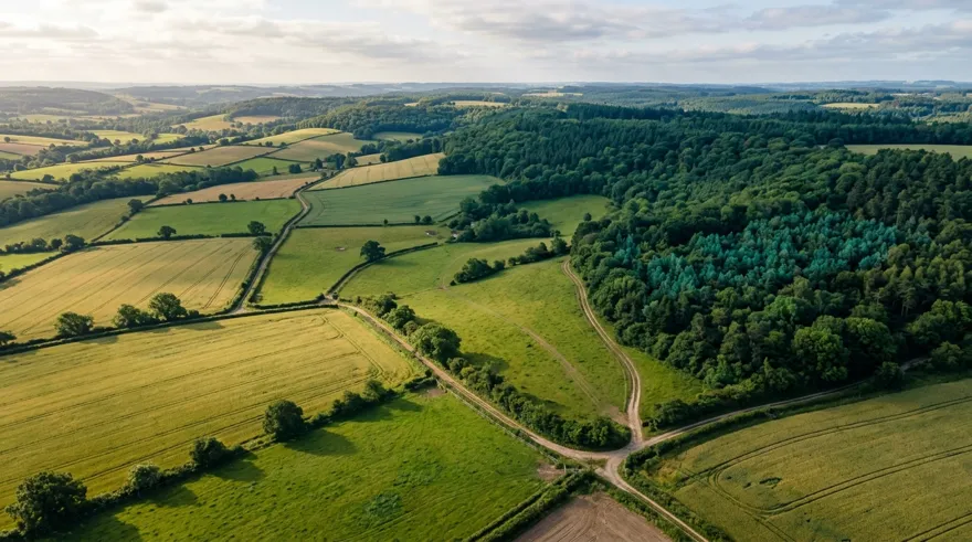
NDVI, vegetation health and land cover to document how a forest area evolves.
Open in the builderWildfire
Risk indicators, vegetation conditions and climate context for prevention and response planning.
Open in the builderHow it works
The builder is already live with real sample data: when you are ready, connect one of your sites and the same blocks fill up with your territory's real data.
BREEAM, EIA, forests or wildfire risk: reports already filled with real sample data.
KPIs, satellite maps, charts and AI texts: drag blocks into the report, reorder and edit every page.
Download the result as a PDF, ready to deliver. Then create your platform and connect a site for real data.
FAQ
How the builder works, where the data comes from and what you can export.
No. The builder opens as a public demo, already filled with real sample data. You only need an account when you want to connect one of your sites and fill the report with your territory's data.
No. You pick a template, customize the blocks and export: maps, indicators and analyses are generated by the 3Bee platform, no specialist software involved.
From the 3Bee monitoring platform: satellite imagery, NDVI and vegetation health, biodiversity and the environmental KPIs of the connected site. The demo uses real data from a demonstration site.
Yes, every report is fully customizable: add, reorder or remove blocks (KPIs, maps, charts, AI texts), change the copy and switch to another template at any time.
XN Maps generates maps and geospatial analyses of an area. XN Reports composes that data — together with KPIs, charts and text — into professional multi-page reports ready to deliver.
Try it now
Open the Report Builder with sample data, customize it and export it to PDF. No sign-up required to get started.